
Mapped in minutes
Document 20,000m² in 25 minutes. Down from three hours.

Select your region
Cancel
Sorry, region not found. Please try again.
See it, act on it. One platform to reduce risk & rework.
Book a free demo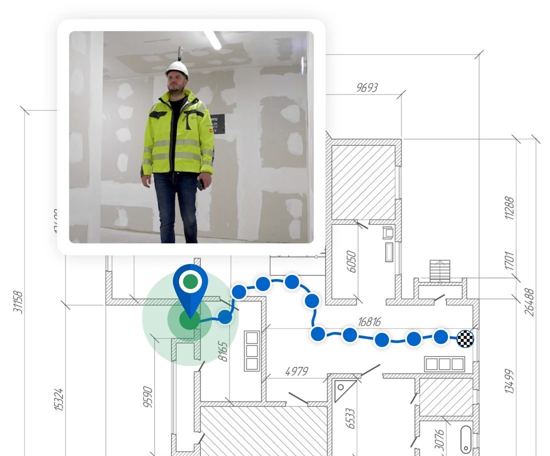
Document 20,000m² in 25 minutes. Down from three hours.

Just start walking. Every frame automatically mapped to your floor plan by AI.

Compare two dates and look behind the wall to catch issues before they become problems.

The only 360° site capture built into a full construction management platform.

GDPR compliant, ISO 27001 certified, data hosted in Europe.
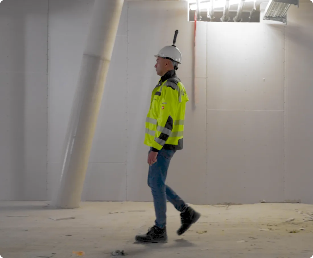
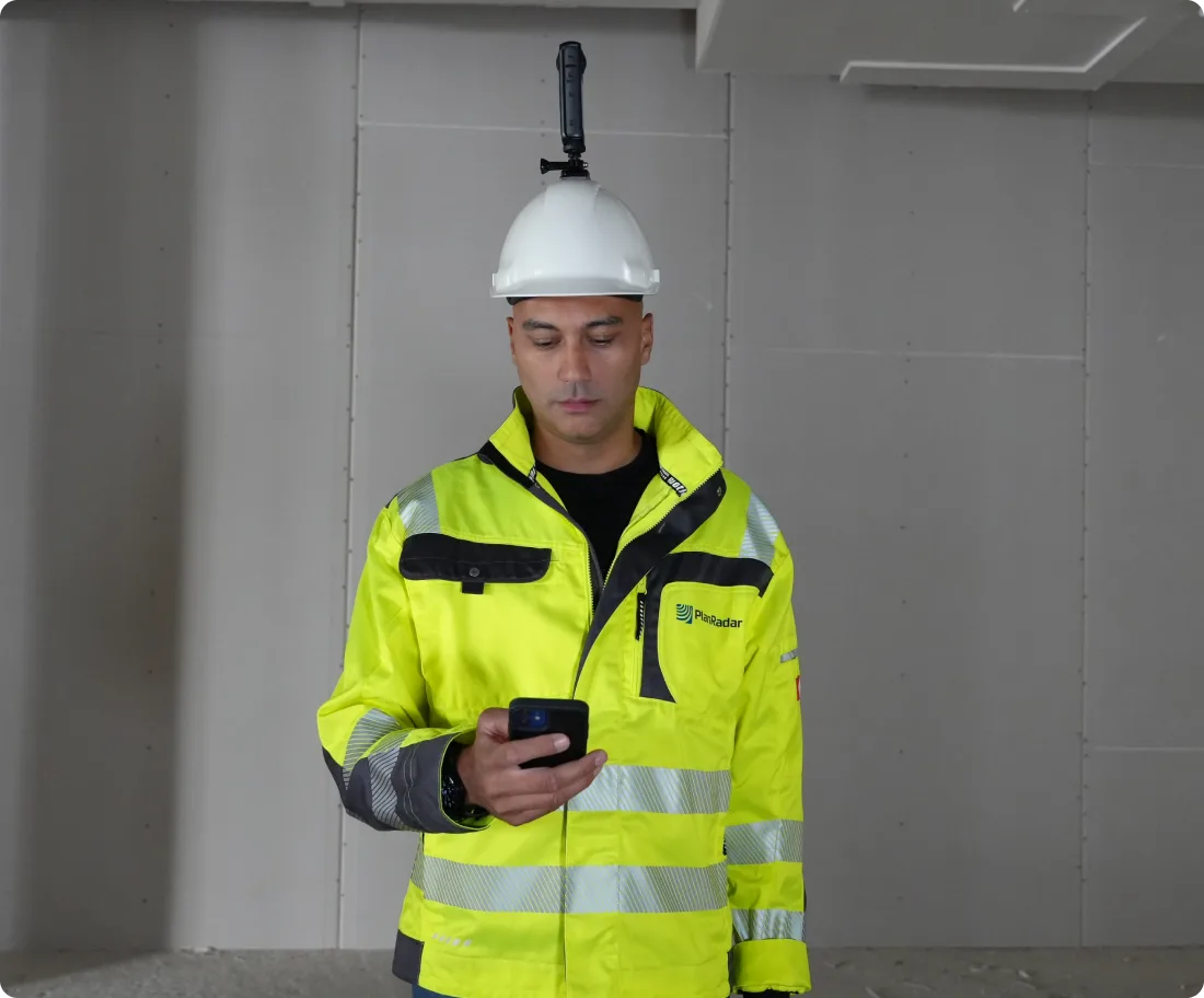
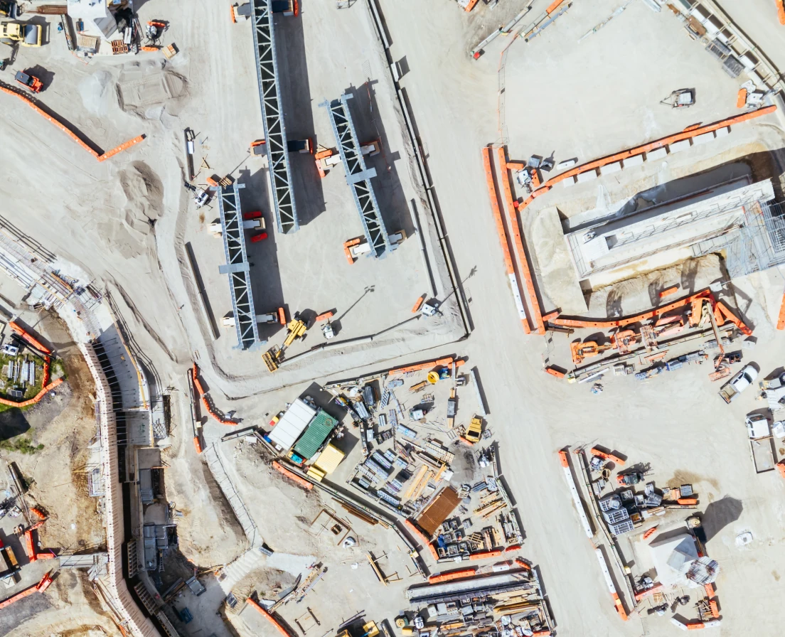
Attach your Insta360, open PlanRadar, and walk. Outdoor walks are automatically geo-referenced with GPS data.
Capture individual 72MP 360° stills at any point and place them on your plan for the sharpest detail.
Record videos directly in the PlanRadar app on iOS or Android, paired with your Insta360.
Capture aerial 360° footage with the Antigravity A1 drone or the Insta360 Sphere and upload it directly into SiteView alongside your ground-level record, for complete site coverage inside and out.
It’s easy to capture, but if you’d like someone to show you how, we’ll walk your first runs for you.

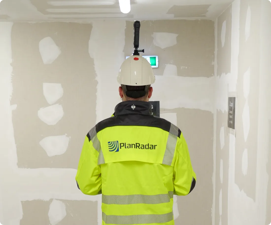
See it in practice

Full transparency for relevant stakeholders, with the complete record available at any time.
Book a free demo
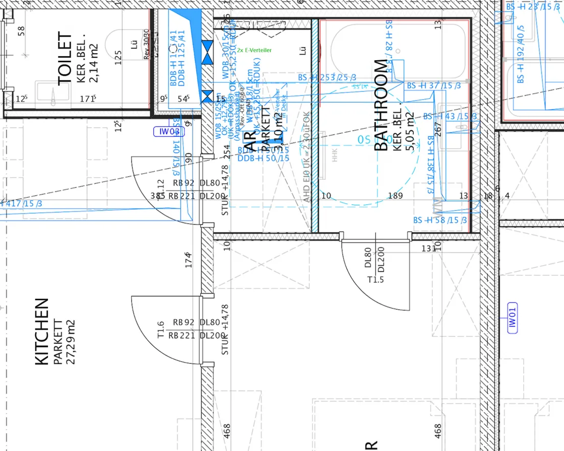
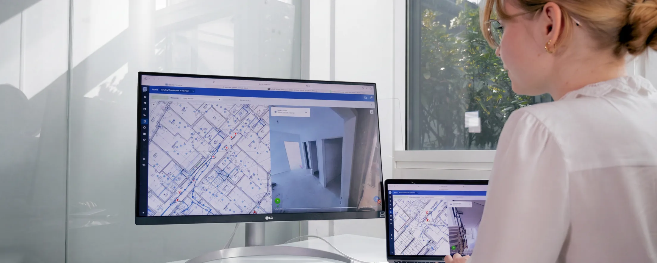
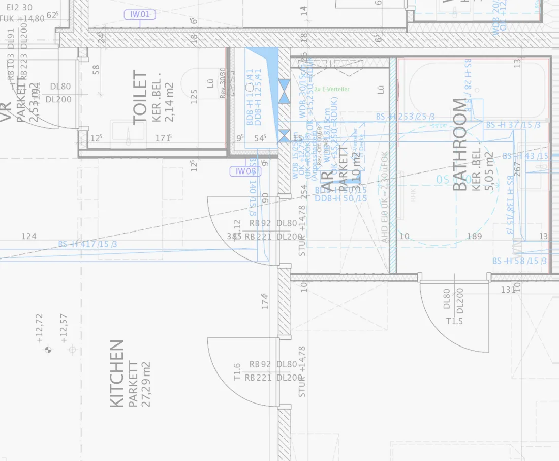
Every frame of your 360° capture is automatically positioned to the correct location on your floor plan or drawing using AI. See exactly which areas have been covered and when.
Book a free demo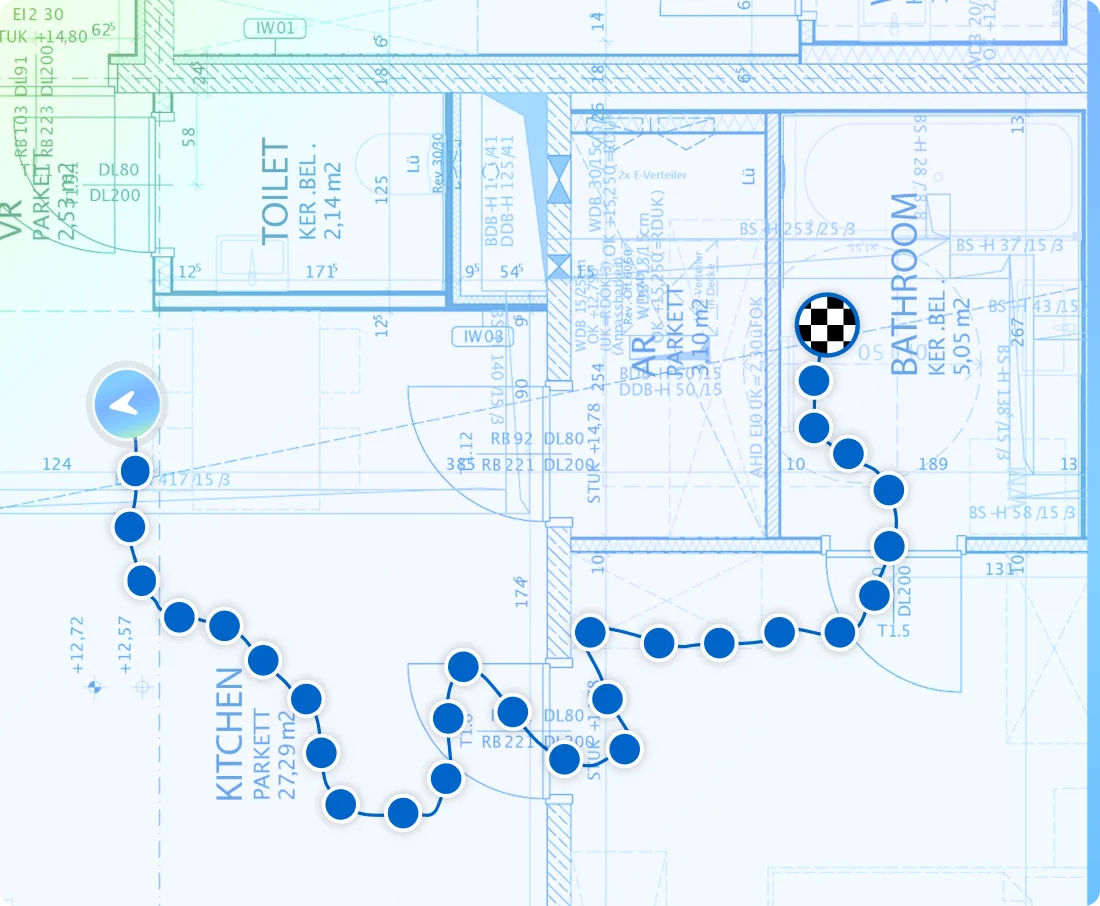
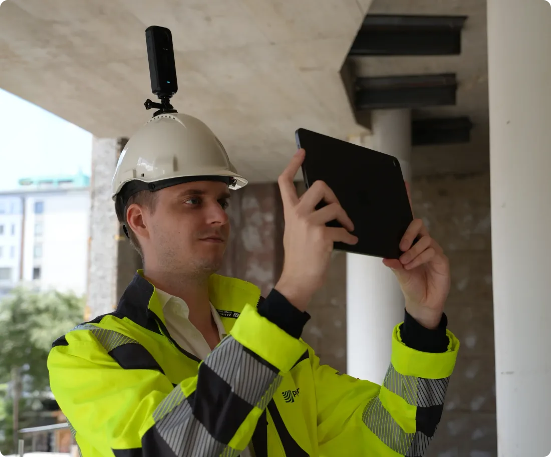
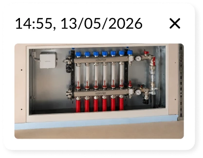
Smartphone photos that capture the smallest details on a site walk are automatically placed on the 360° footage by AI. See the additional details that prevent disputes with a water-tight record of what happened on site and when.
Book a free demo
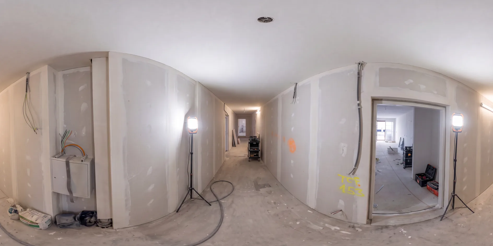
See exactly what was on site, in that location, at any point in time. Compare any area of the site across two captures and see exactly what progressed, from anywhere.
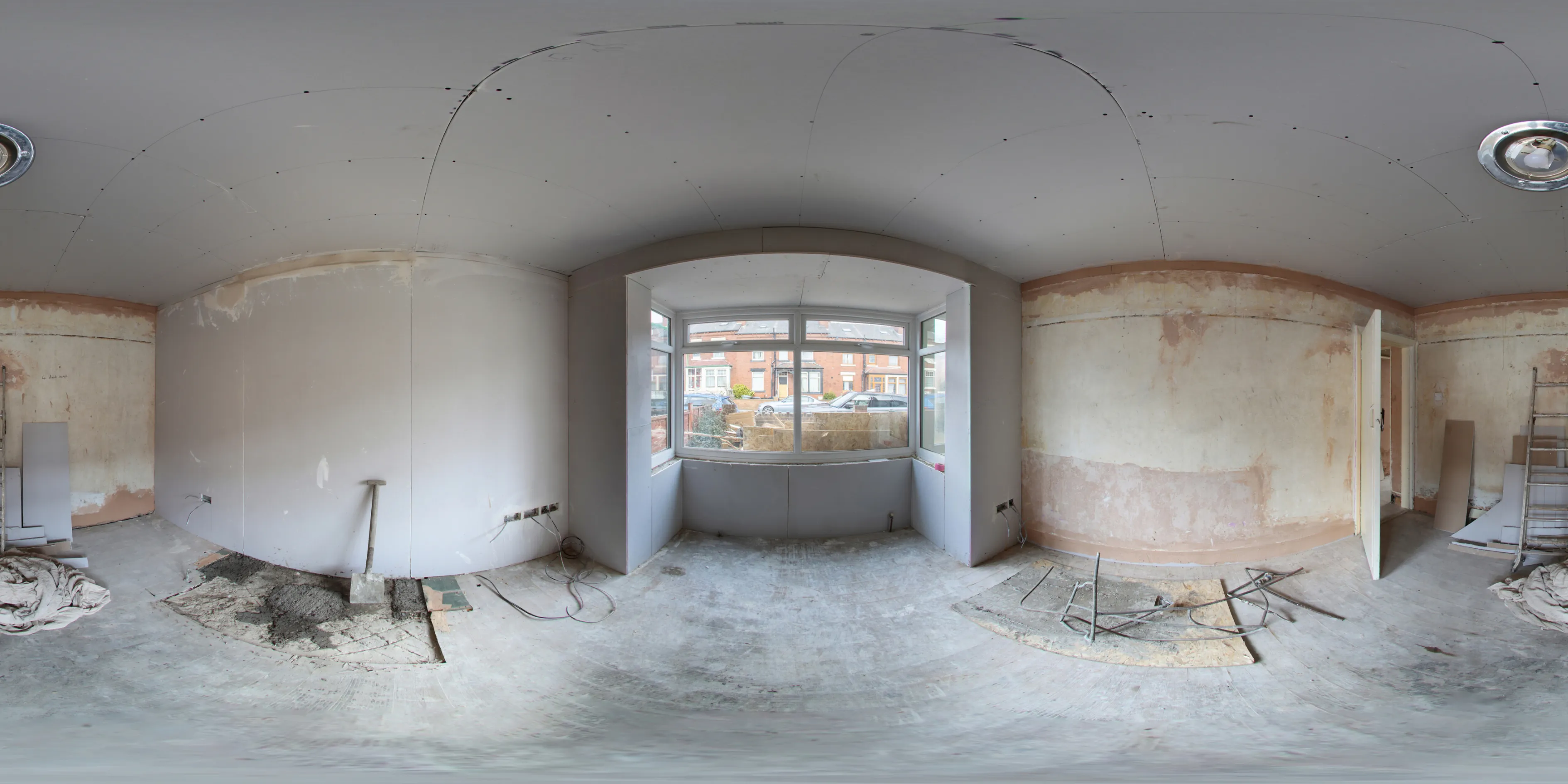
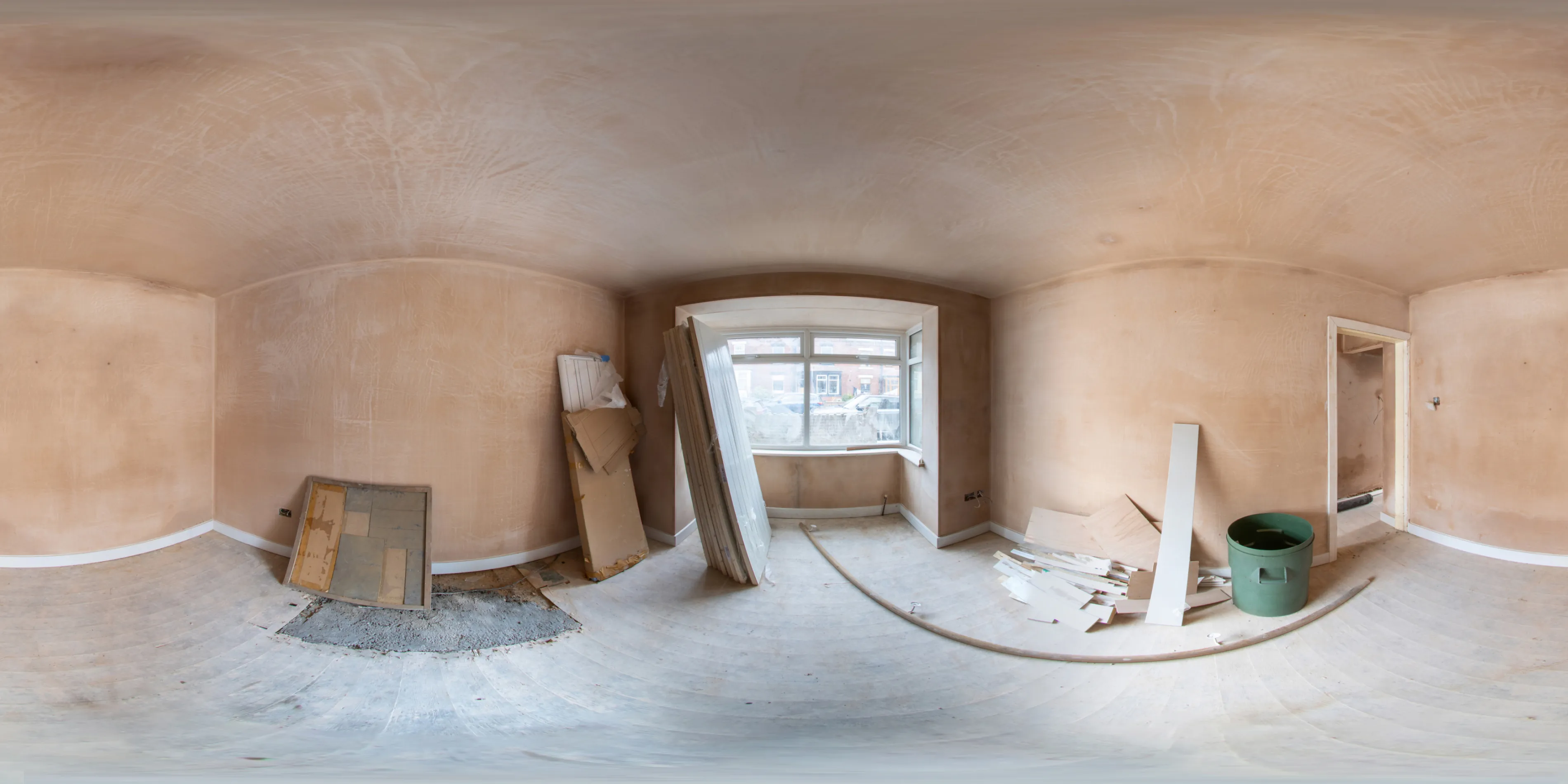
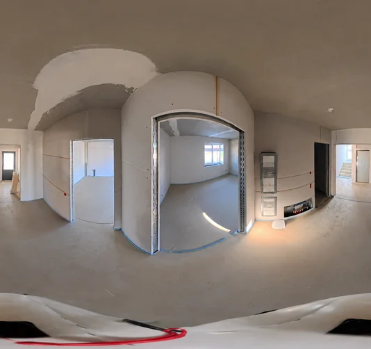
Capture before surfaces close and you have a permanent record of everything that was installed behind them. Invaluable for quality control, reducing rework, and disputes.
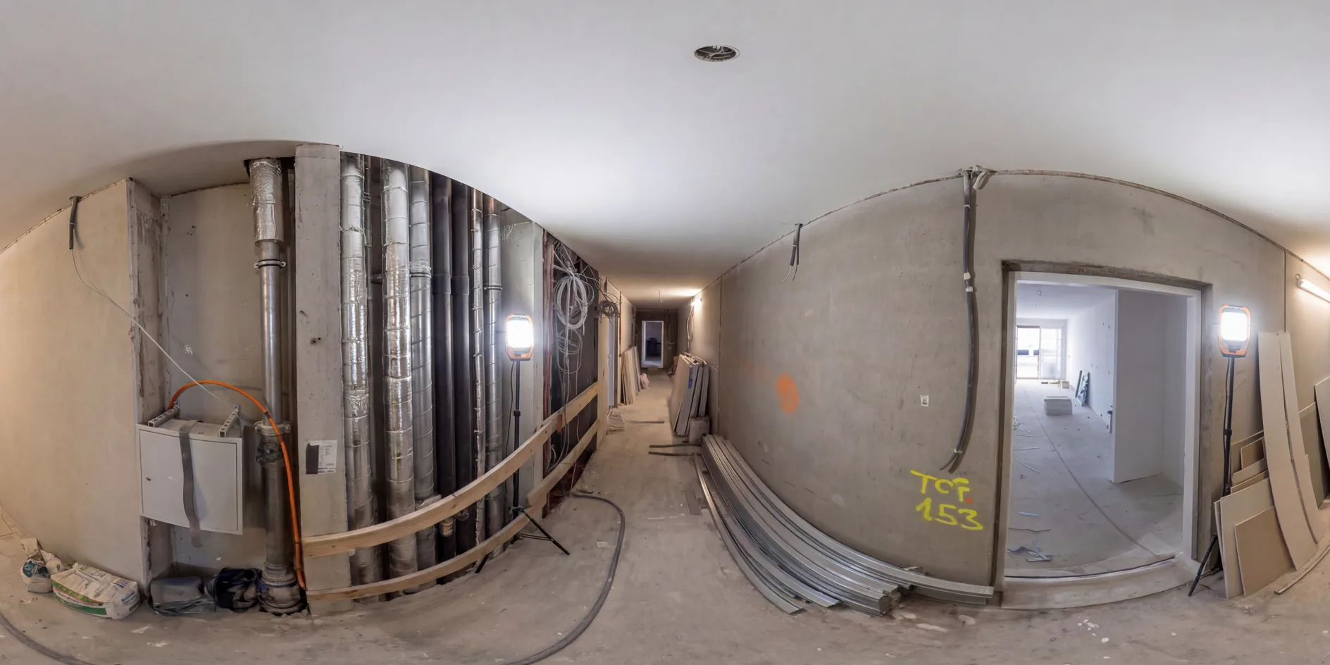
Click any point on your floor plan to step into the 360° capture from that location. Navigate seamlessly, looking up, down, left, and right.
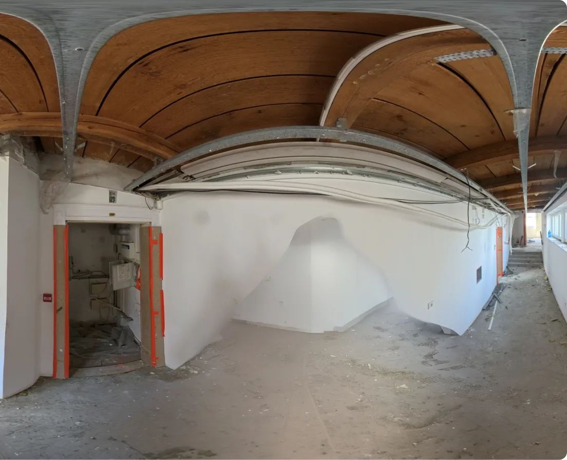
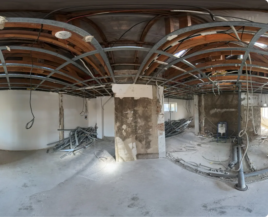
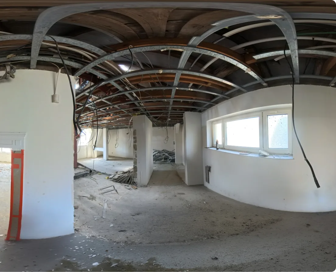
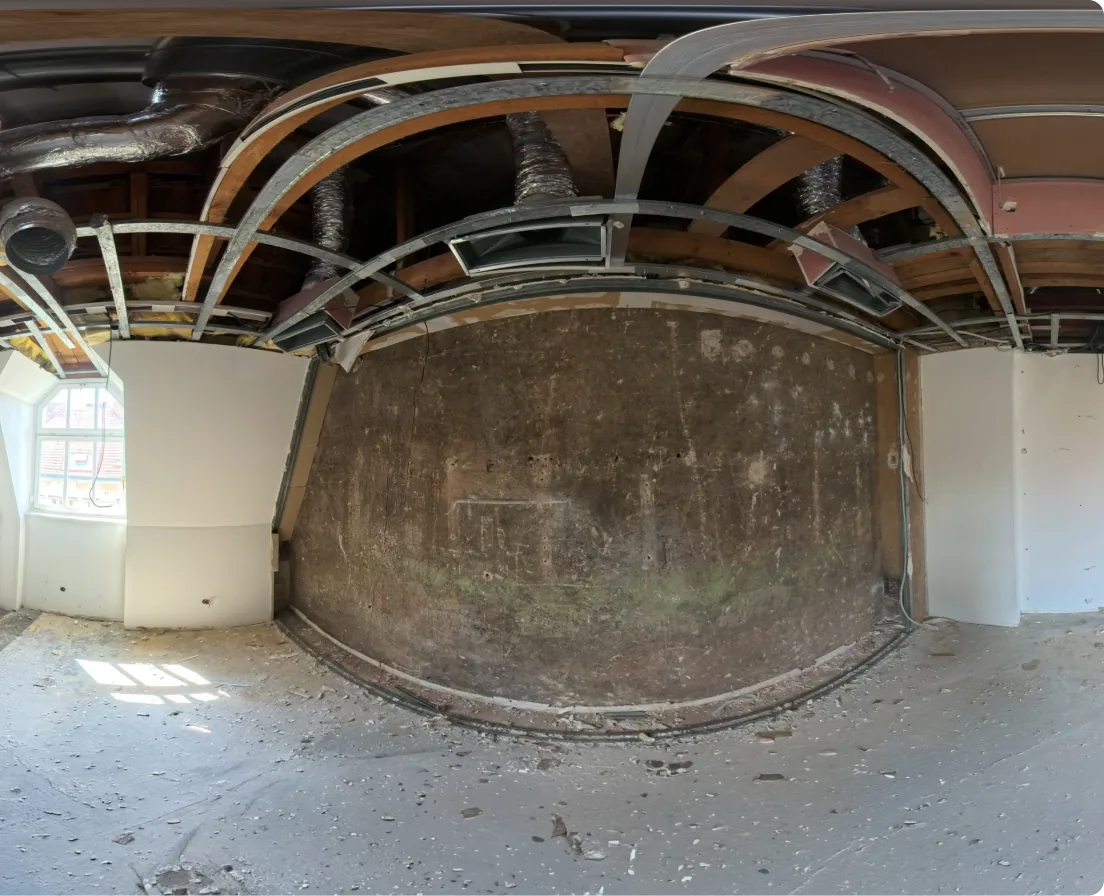
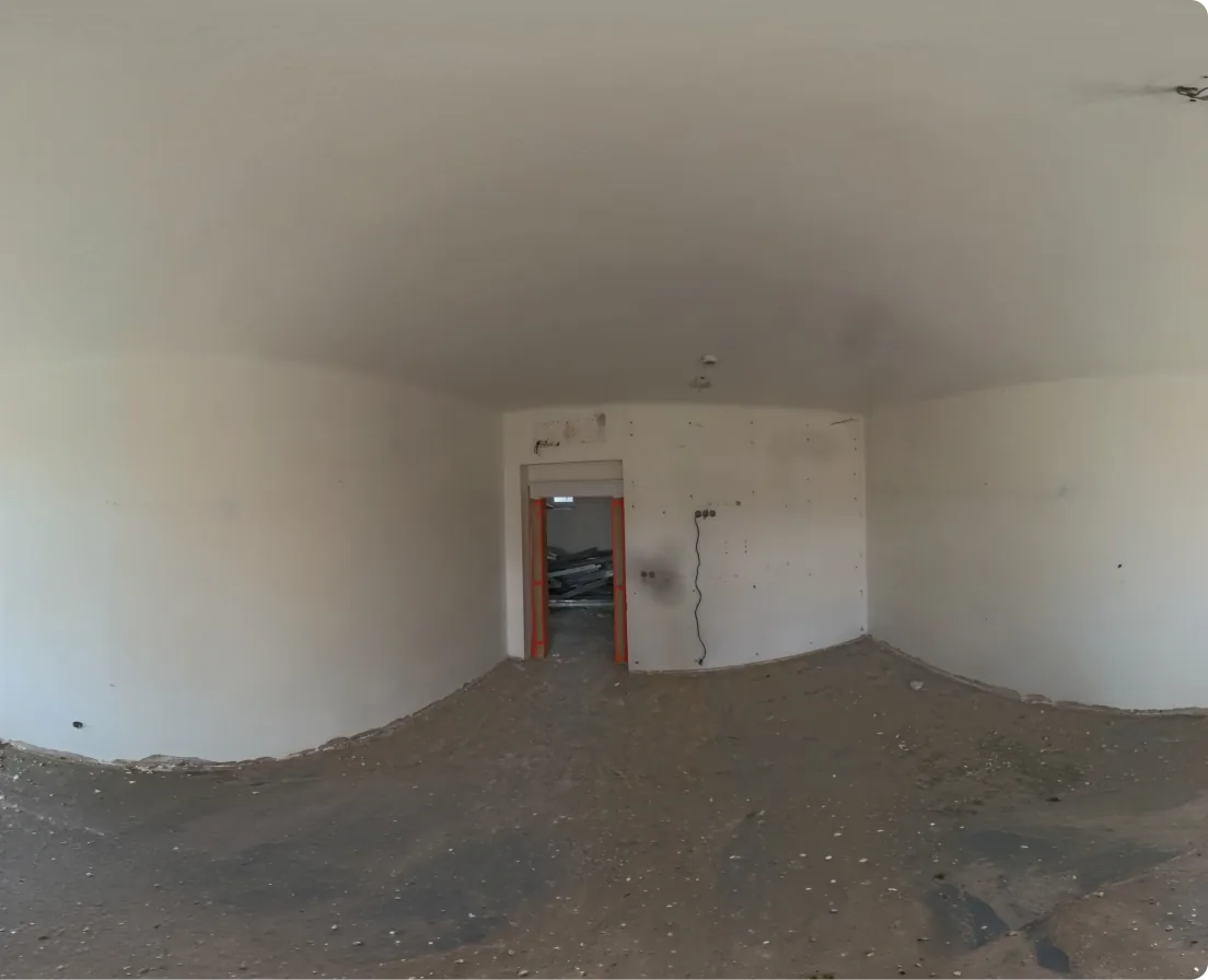
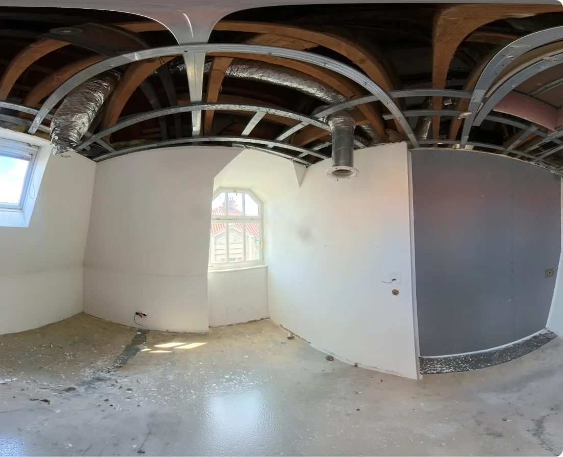
Give anyone on the project team access to the full visual record from any browser, anywhere in the world. No site visit required.
View outdoor site walks overlaid on 2D drawings and maps for complete above-ground coverage.
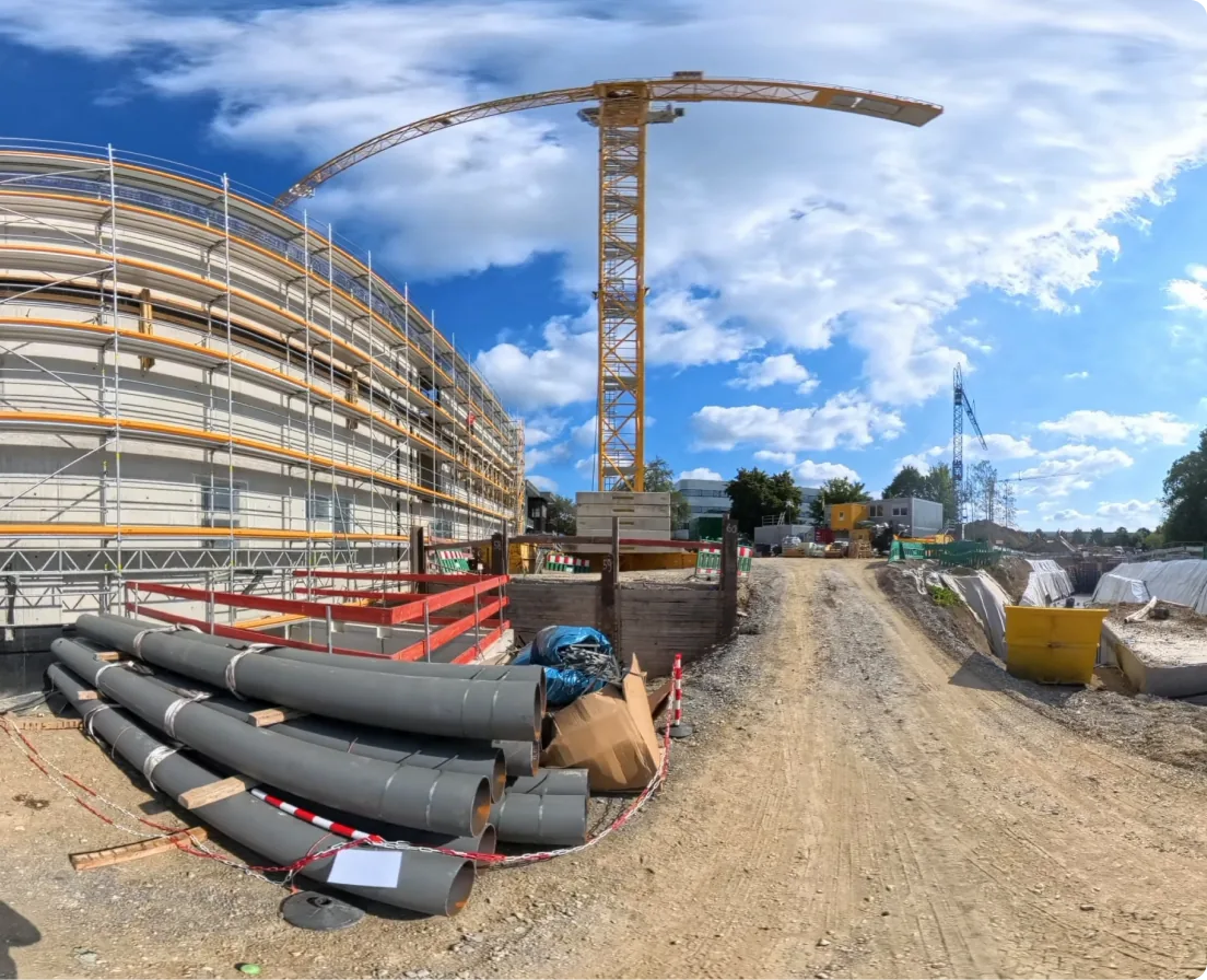
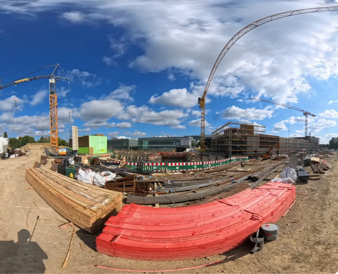
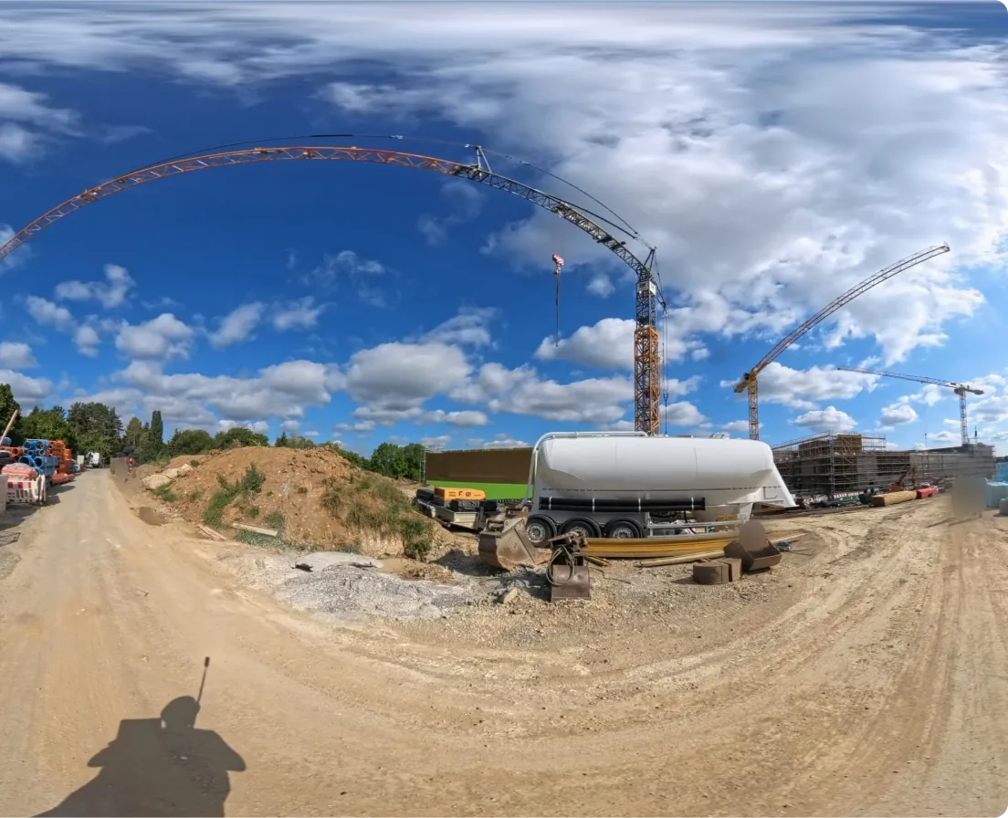
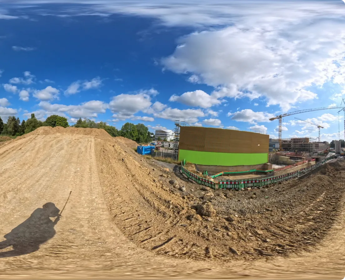
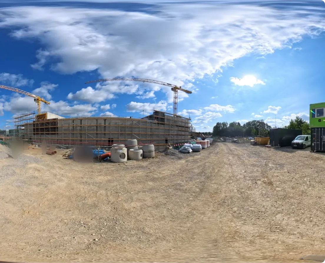
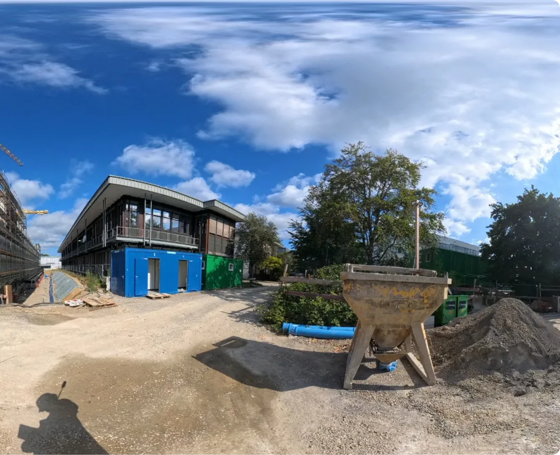
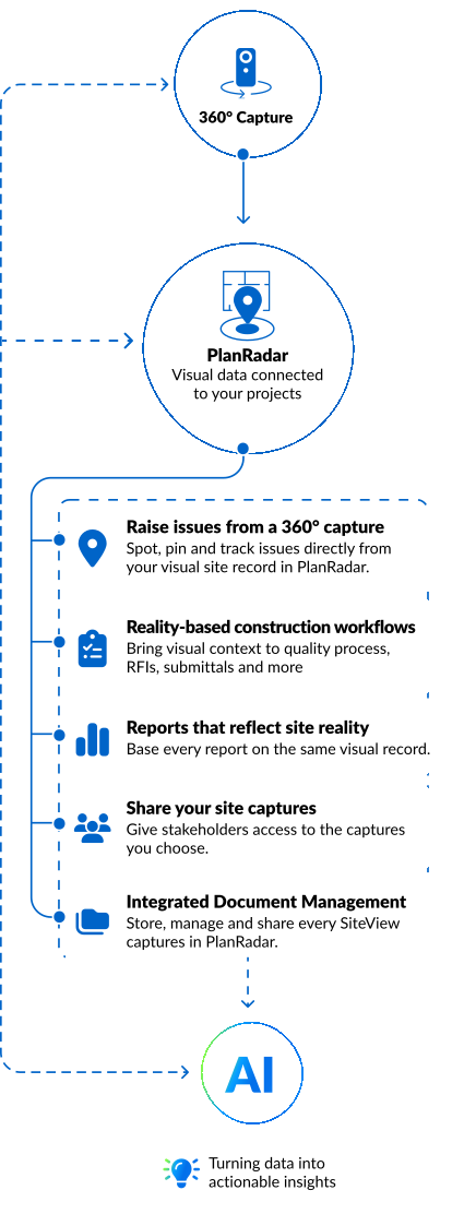
SiteView is built into PlanRadar, turning jobsite reality into action. Connect what your team sees on site to the decisions and tasks that move your project forward. No separate tool. No switching platforms.
 360° Capture
 PlanRadar
Visual data connected to your projects
PlanRadar
Visual data connected to your projects

Spot, pin and track issues directly from your visual site record in PlanRadar.

Bring visual context to quality process, RFIs, submittals and more.

Base every report on the same visual record.

Give stakeholders access to the captures you choose.

Store, manage and share your SiteView captures in PlanRadar.
SiteView captures your site in detail. PlanRadar ensures that data stays protected, private and compliant.



Everyone captured during a site walk is automatically blurred. GDPR-compliant by design, with no manual effort required.
Your project data is stored on servers in Germany, in full compliance with EU data protection law.
PlanRadar is ISO 27001 certified, meeting the highest international standard for information security management.
Define exactly who can access what, at what level. User roles and permission settings keep your project data in the right hands.
Value for all stakeholders
Site Managers
One of our customers mapped 20,000m² in 25 minutes without stopping work on site
Book a free demo

Project managers
Last week next to this week, same spot, same location. Everyone sees exactly what changed.

Clients and consultants
Disputes resolved with the 360° record from that date. A complete visual as built at handover.

Construction and Operations Directors
When a dispute or delay claim lands on your desk, the visual record is already there.

Getting started with SiteView is straightforward, and you’re never on your own. From onboarding to ongoing support, our customer experience team is there to make sure you get the most out of every site walk.
Meet our customer experience team


 Site Managers
  Project managers
  Clients and consultants
  Construction and Operations Directors